Forge3D Render Packs
3D GIS render packs for reports, proposals, and public communication.
Send your DEM, site boundary, route, or GIS layers. Get polished 3D map visuals produced with forge3d, without Blender or complex 3D GIS setup.
Produced by the creator of forge3d.
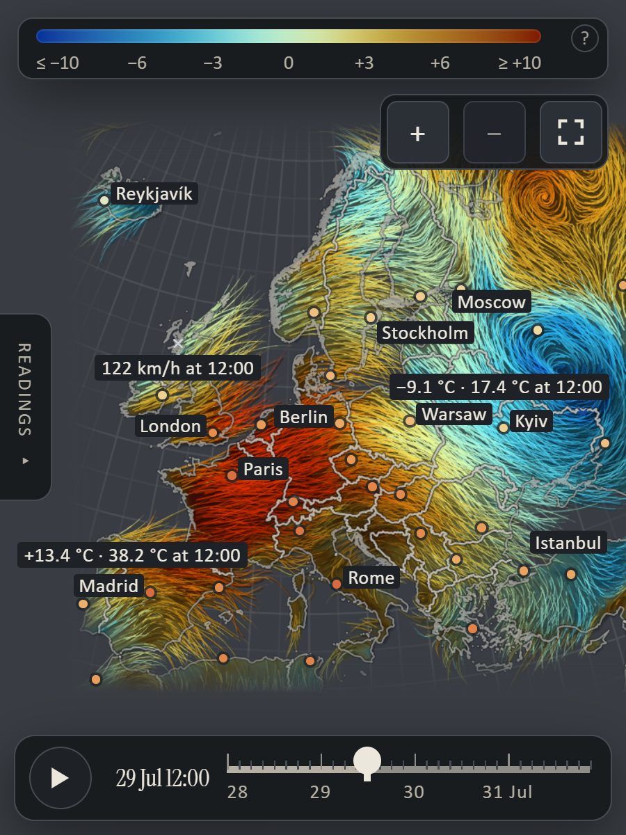
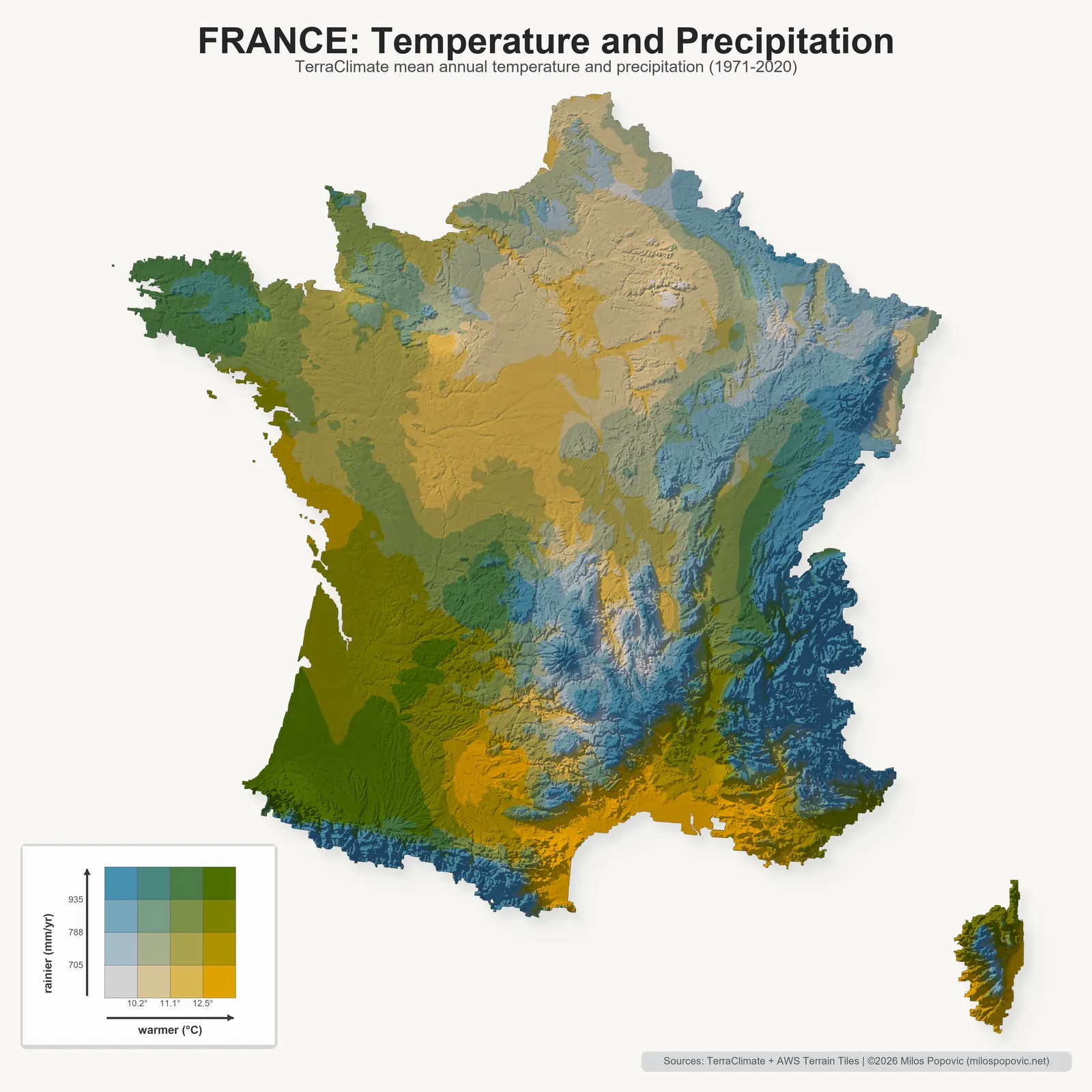
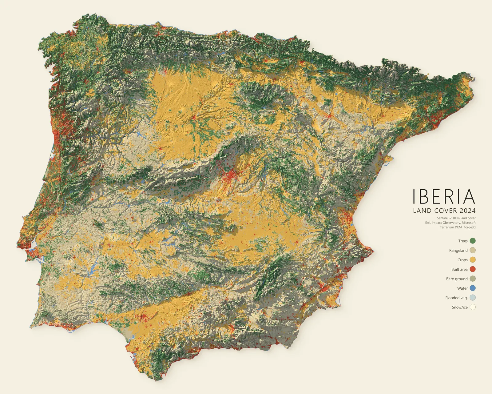
Selected examples
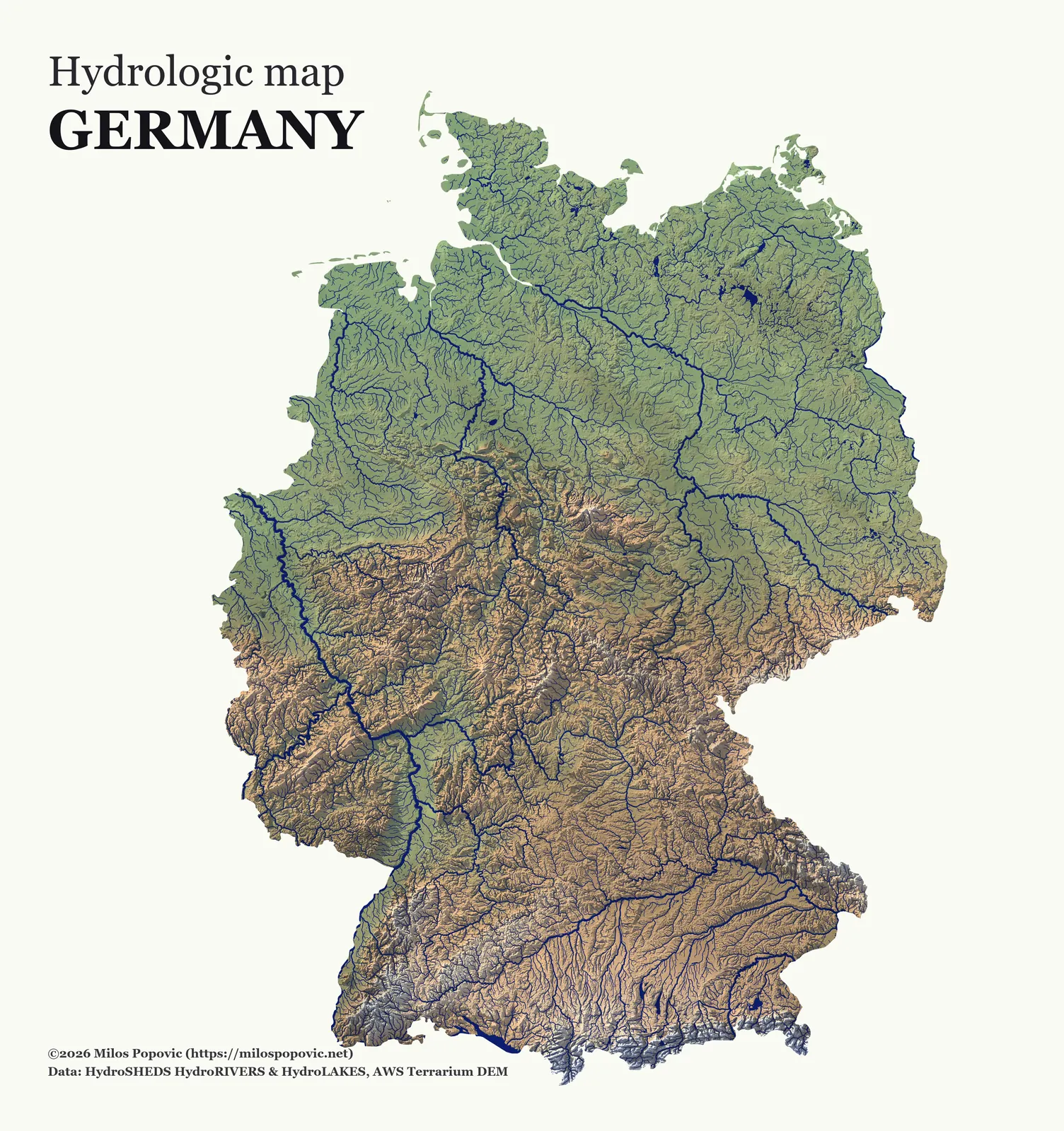
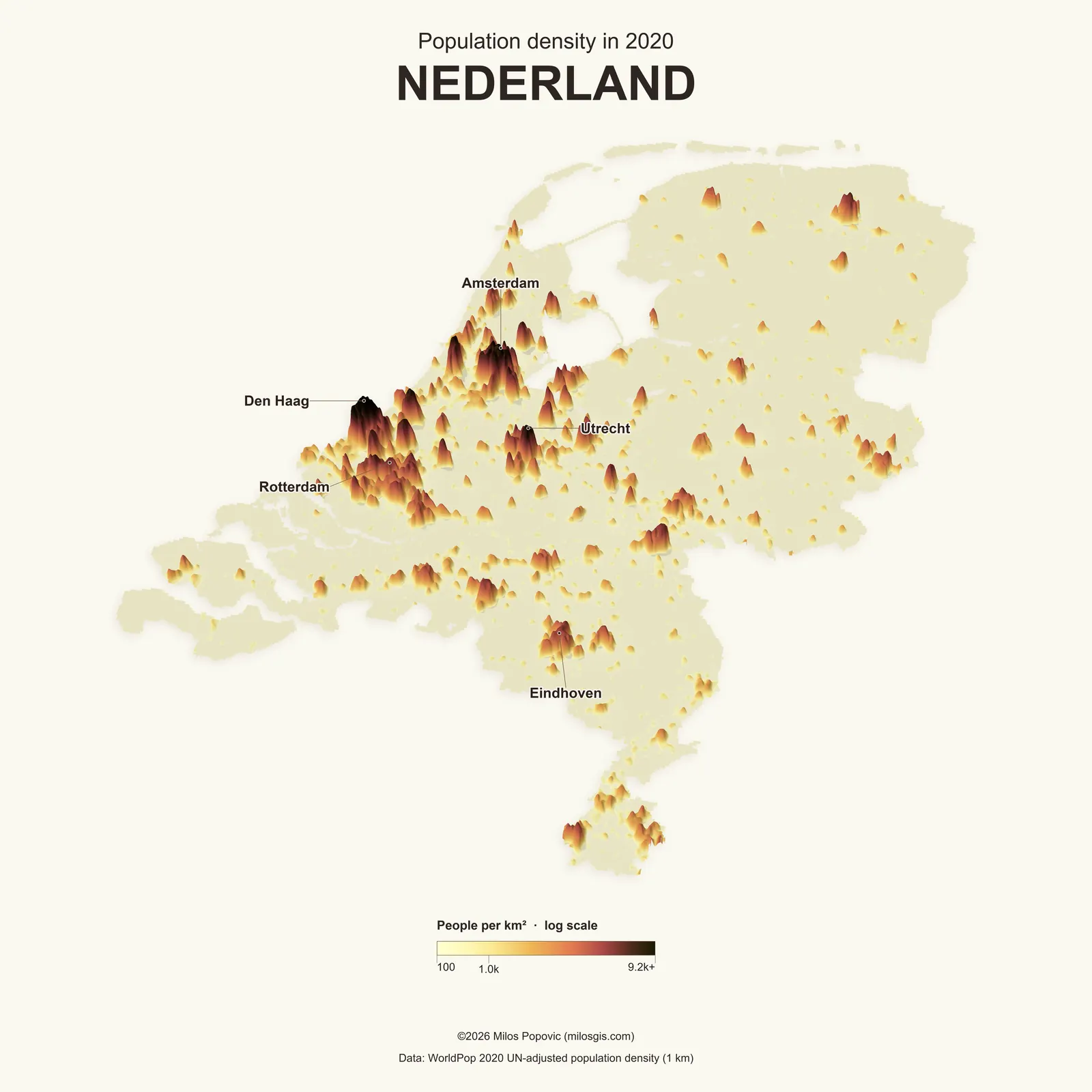
Report-ready renders from real geodata
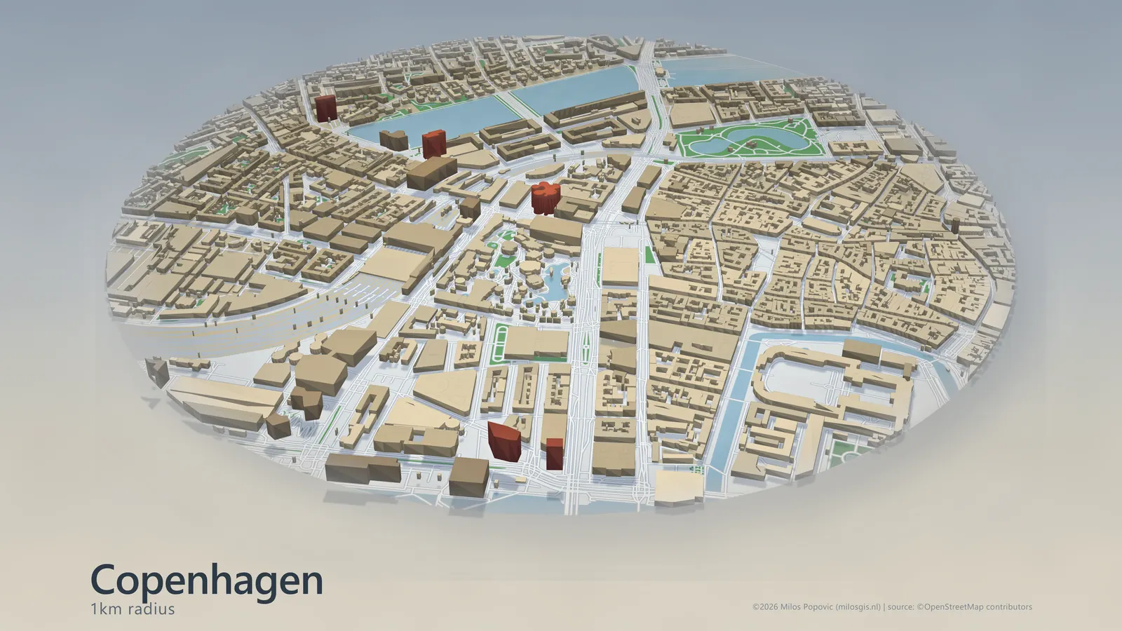
New, cities
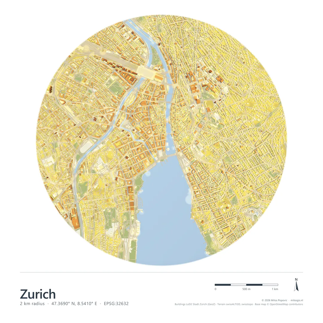
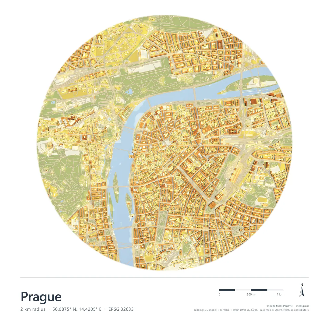
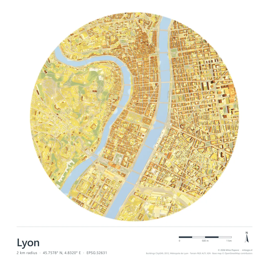
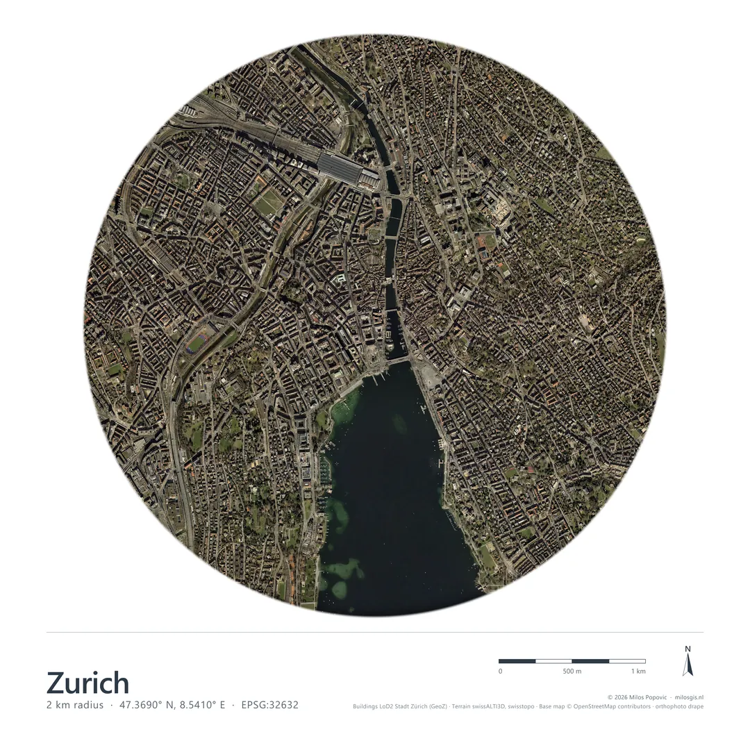
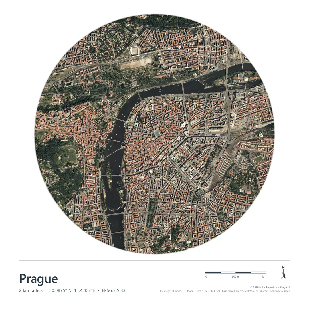
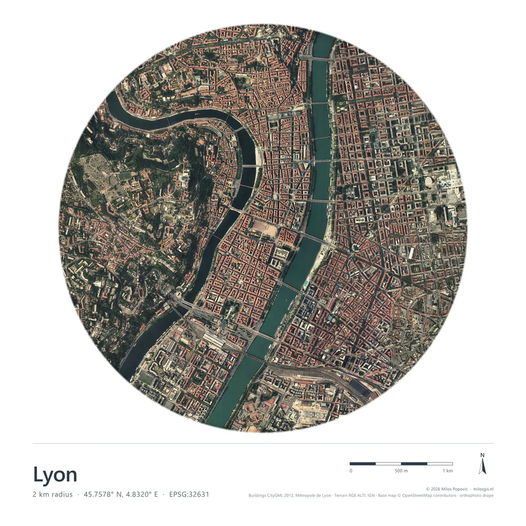
Whole cities in 3D
Building-level city renders from official 3D city models, in colour or with real aerial imagery draped over the same geometry. Urban context for planning documents, public communication, and stakeholder decks.
Remote sensing
Terrain that moves when the story does
Remote-sensing and terrain visuals for explaining hard-to-read landscapes, movement, and change.
Packages
Three ways to buy renders
Premium Visual Pack
Higher-touch package for scenarios, corridors, public communication, or larger projects
Request custom scope| 4K static renders |
| Web-ready versions |
| Source and attribution notes |
| Scoped revision rounds |
| Optional print exports |
| Optional short animation add-on, if available |
| DEM / elevation raster |
| GeoTIFF / COG |
| GeoPackage |
| Shapefile ZIP |
| GeoJSON |
| CSV with coordinates |
| KML/KMZ |
| QGIS project, manually reviewed |
If you do not have complete data, sourcing or cleanup can be scoped separately.
Who it serves
Built for teams that publish with maps
GIS consultants
Turn client geodata into polished visuals when a report, proposal, or pitch needs stronger terrain context.
Planning and environmental teams
Show site boundaries, landform, hydrology, and context clearly before a submission or stakeholder meeting.
Infrastructure and corridor teams
Explain routes, corridors, and terrain constraints with visuals that fit presentation and report deadlines.
Research and public communication teams
Translate spatial findings into clear 3D visuals for papers, public pages, briefings, and exhibits.
How it works
Brief in, previews out, finals signed
Send your brief and data.
I review scope, data, and output needs.
Forge3D renders previews from your geodata.
You request scoped revisions.
You receive final files with source notes.
FAQ
Common questions before a brief
What data do I need?
A DEM or elevation raster plus the boundary, route, points, or GIS layers you want shown is usually enough to start a scope review.
Can you source data?
Yes. If your data is incomplete, sourcing or cleanup can be scoped separately before render production begins.
Is this GIS analysis or visual rendering?
Forge3D Render Packs are visual rendering deliverables. GIS analysis can be discussed separately if the project needs it.
Are the renders geographically accurate?
They are produced from supplied or agreed geospatial data for communication and presentation. Survey, engineering, legal, or regulatory uses must be scoped separately.
Can you keep data private?
For sensitive projects, production can be handled locally and raw geodata does not need to be sent to external AI tools by default.
How many revisions are included?
Revision rounds are scoped before work begins so expectations match the selected package and deadline.
Can you make animations?
Optional short animation add-ons can be discussed when the data, story, and delivery timeline support them.
Can I use the images commercially?
Commercial use can be included in the scope, with source notes and attribution requirements documented in the final files.
Forge3D renders are produced from supplied or agreed geospatial data and are intended for communication, reporting, proposals, and stakeholder presentation. Unless explicitly scoped, they are not survey, engineering, legal, or regulatory determinations.
For sensitive projects, production can be handled locally and raw geodata does not need to be sent to external AI tools by default. Custom retention and NDA terms can be discussed for larger projects.
Start
Ready when your data is.
If you do not have complete data, sourcing or cleanup can be scoped separately.